
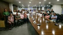

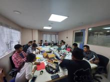
Work surged; the week didn’t. As tech-heavy assignments spread across districts, MBMA didn’t need to replace expertise, it needed more trained hands alongside it, because delivery had shifted from paper plans to evidence-driven routines: GIS basemaps for planning, UAV imagery for verification, tighter procurement and finance compliance, monitoring that holds up to review, and documentation that can move between blocks without being rebuilt.
