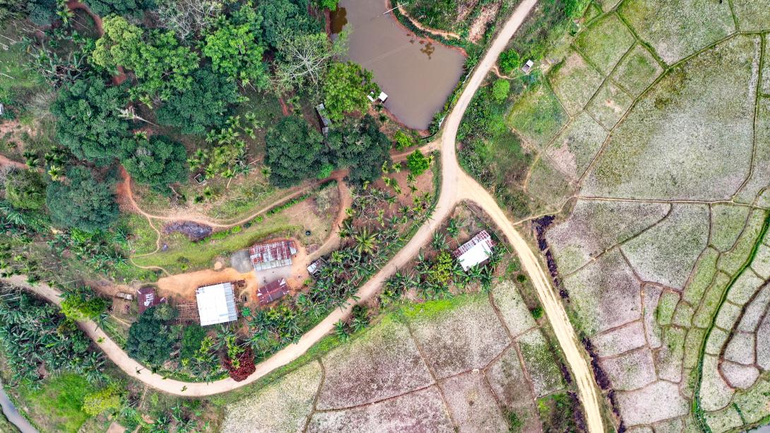
Data-driven technologies such as Geographic information system,Unmanned Aerial Vehicles, Remote Sensing, and Global Navigation Satellite System (GNSS) strengthen MegLIFE’s vision for resilient landscapes.
They help identify priority areas for intervention and enable effective tracking of progress across restoration, water conservation, and livelihood activities.